 Mars in
2007-2008
Animation
and Cartography
Mars in
2007-2008
Animation
and Cartography
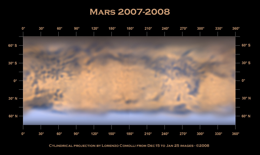
Inspired by an article on
Sky&Telescope
of February 2004, I've realized a cartography of the whole planet using
the images captured across the opposition, in December 2007 and January
2008. The main steps are:
- select the best images for
every
longitude
on Mars
- project the images on a
cilindrical
projection
(I've used Iris)
- compose the projection of
different
locations
in a global map (I've used Photoshop)
- reproject the map on a sphere
to
realize
an animation of Mars (I've wrote a Matlab script to automatize this
step)
Here are the results: the map and the
animation.
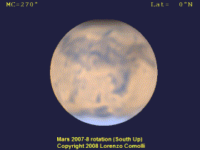
|
MARS
ANIMATION
Click
on the preview to download the AVI animation. DivX 5.21 or better required. See also the 2003 animation.
|
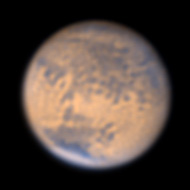
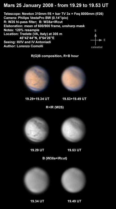
25 jan 08
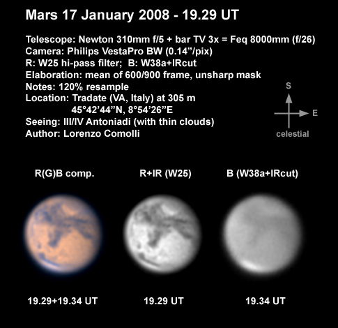
17 jan 08
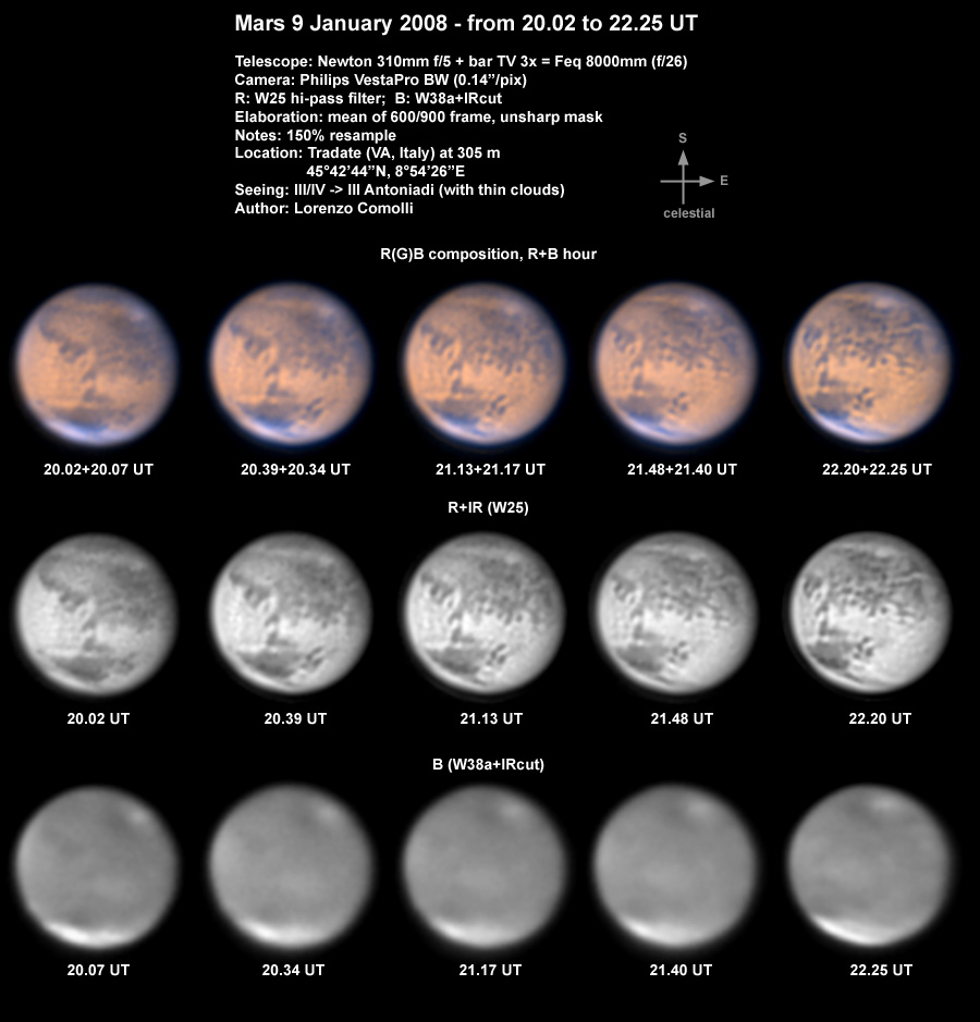
9 jan 08
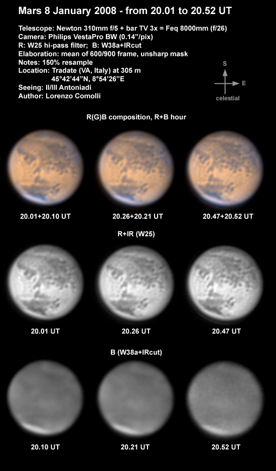
8 jan 08
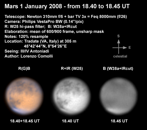
1 jan 08
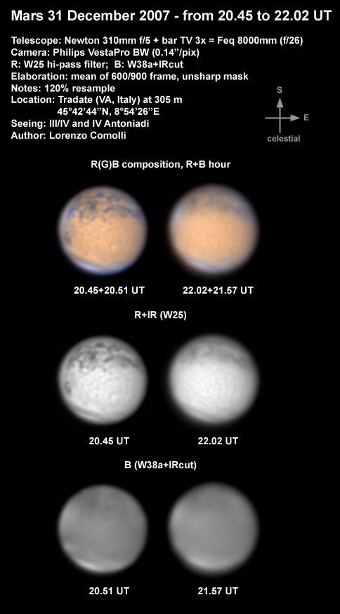
31 dec 08
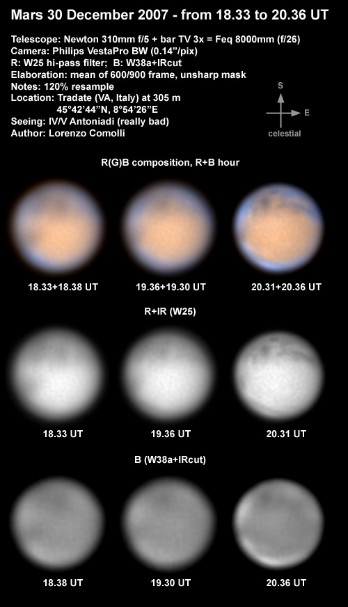
30 dec 08
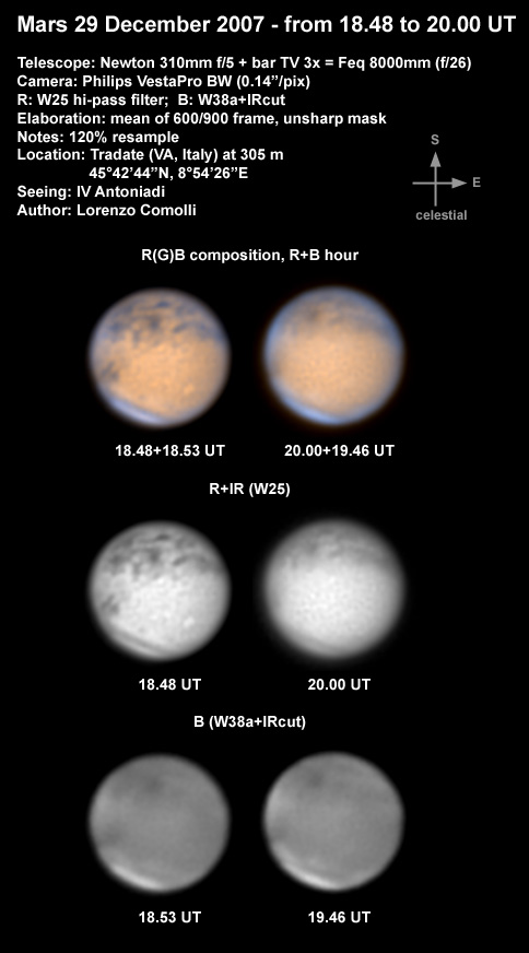
29 dec 08
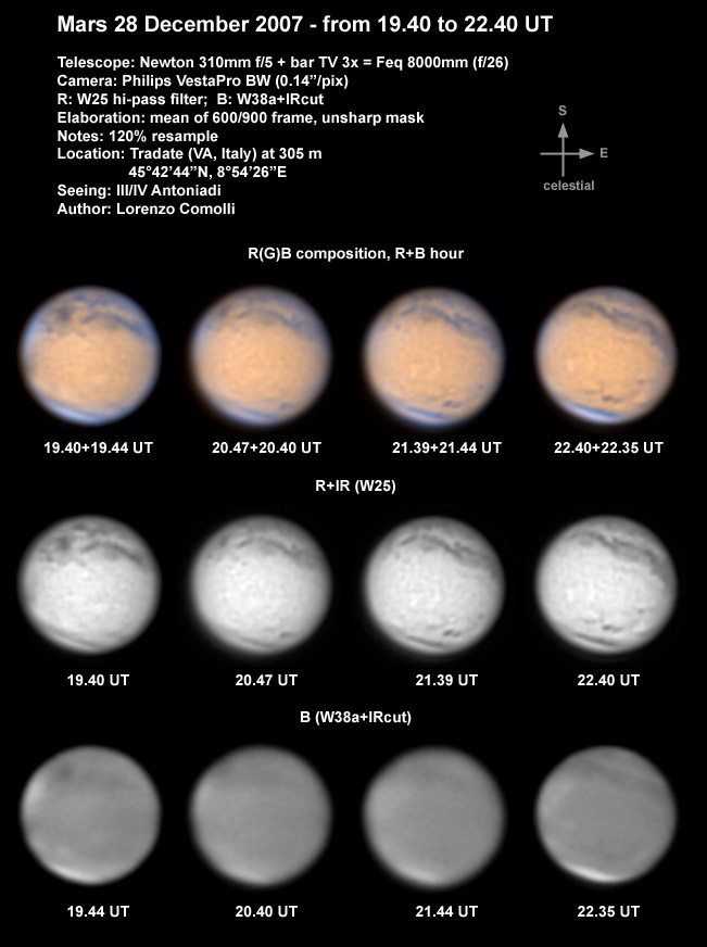
28 dec 08
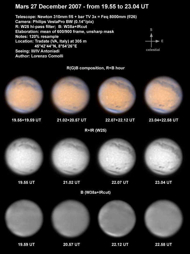
27 dec 08
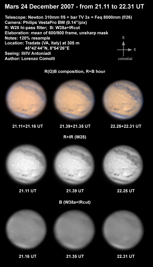
24 dec 08
21 dec 08
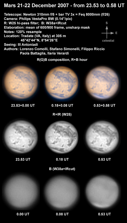
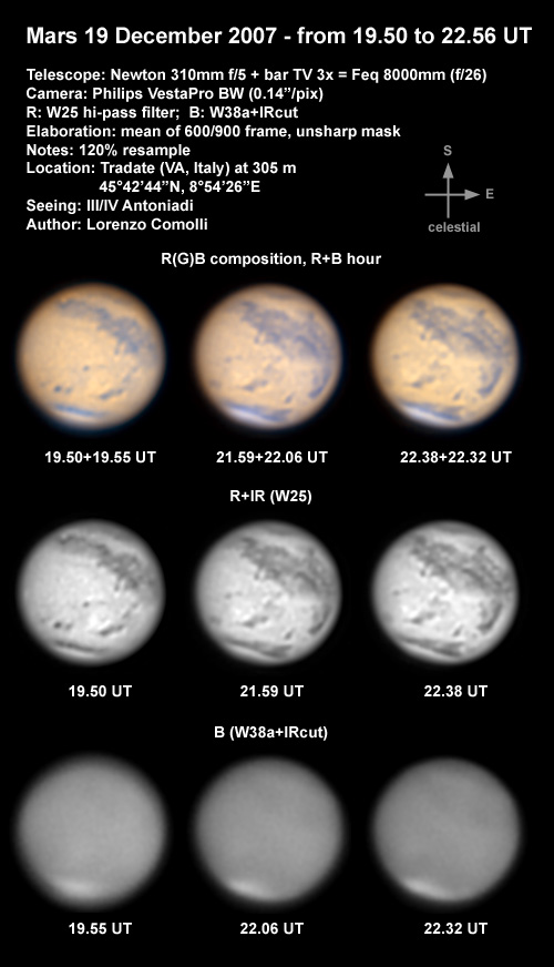
19 dec 08
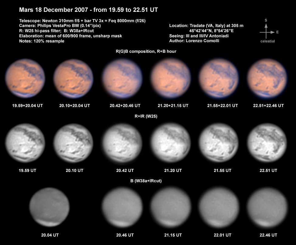
18 dec 08
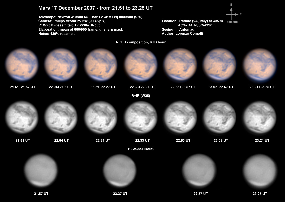
17 dec 08
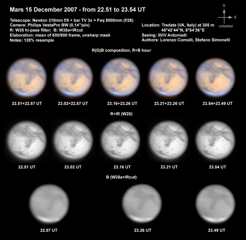
15 dec 08
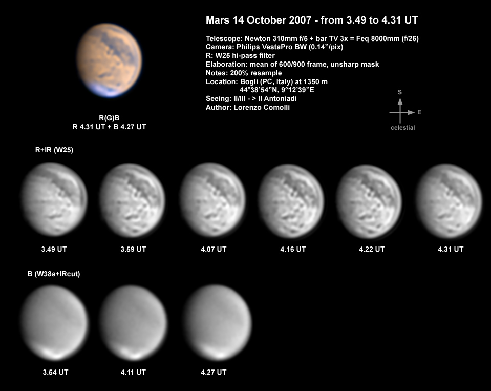
14 ott 08
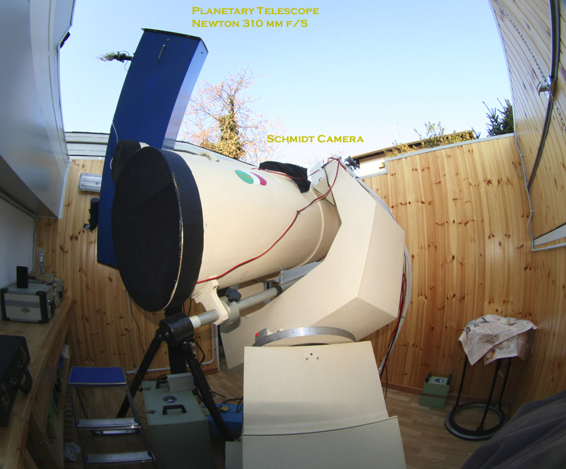
The
main instrument